We are proud to announce our newest website GoHikeWithMike.com along with the 150+ page Flathead Lake trail guide.
 The Go Hike with Mike Trail Guide contains most every trail head around Flathead Lake. The guide includes trails as far north as Polebridge.
It also contains the Hungry Horse recreation area, the Swan Front and Swan Valley to the east. To the north the guide contains trail head and campground information around Tally Lake.
The trail-guide contains detailed information about each trail. Content comes from Fish Wildlife and Parks, as well as 20 years of hiking and walking in the woods.
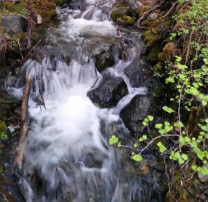
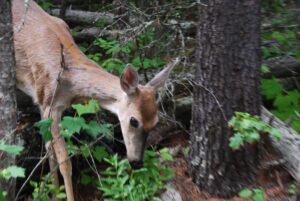
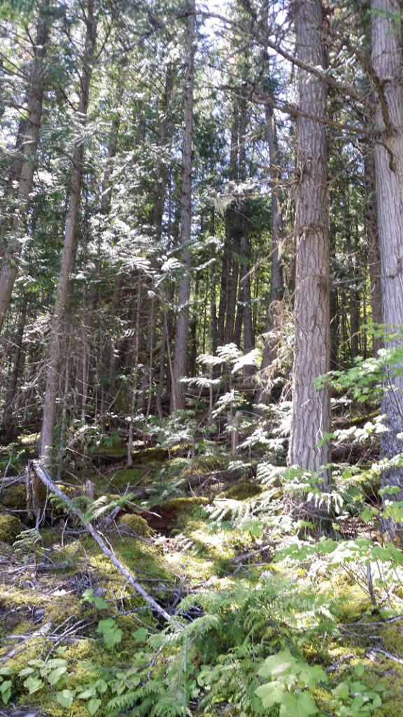
Looking for a great trail in Flathead National Forest, Montana? The Go Hike With Mike Trail-Guide contains most all of them in northwest Montana. Trails include trail running trails, mountain biking trails and just great hiking trails.
Ready for some hiking? There are 30 moderate trails in Flathead National Forest ranging from 1.8 to 23 miles and from 3,034 to 7,421 feet above sea level. Start checking them out and you’ll be out on the trail in no time!
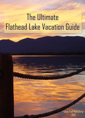
Flathead Lake Trail Guide
It doesn’t matter if you are a novice hiker or you love a challenge: Jewel Basin has a hike for you. You’ll discover 15,349 acres of wilderness, 27 lakes and nearly 50 miles of hike-only trails.
The Jewel Basin is located just outside of Bigfork in the Flathead National Forest. To access the trailhead from Bigfork, take Hwy 35 north to Hwy 83. Head east on Hwy 83 to the junction of the Echo Lake Road. Head north on Echo Lake Road about 3 miles to junction with the Jewel Basin Road (No. 5392). Follow this road approx. 7 miles to the trailhead.
Get your 150+ page Flathead Lake trail guide. or visit the website: GoHikeWithMike.com
Follow Mike on Instagram or subscribe to his YouTube Channel
#gohikewithmike
 Visiting Montana. We provide information and content for folks who are visiting Montana. Thank you for visiting our site. Many years back the Flathead Lake Vacation Guide was written to provide tourist with the information they needed while visiting Montana.
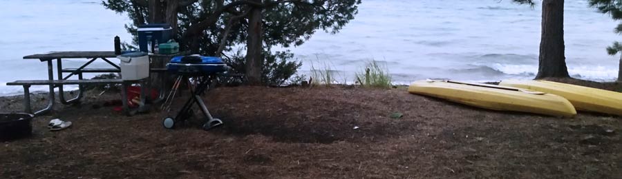


 Murray Bay Campground is located high in the Rocky Mountains, less than
 Glacier National Park is named for the glaciers that produced its landscape. A glacier is a moving mass of snow and ice. It forms when more snow falls each winter than melts in the summer. The snow accumulates and presses the layers below it into ice. The bottom layer of ice becomes flexible and therefore allows the glacier to move. As it moves, a glacier picks up rock and gravel. With this mixture of debris, it scours and sculptures the land it moves across. This is how, over thousands of years, Glacier National Park got all its valleys, sharp mountain peaks, and lakes. There are more than 50 glaciers in the park today, though they are smaller than the huge ones that existed 20,000 years ago.
 The park is unique among US parks in its relationship with the Waterton Lakes National Park in Alberta, Canada. The two parks meet at the border shared by the two countries. Though administered by separate countries, the parks are cooperatively managed in recognition that wild plants and animals ignore political boundaries and claim the natural and cultural resources on both sides of the border. In 1932, the parks were designated the first International Peace Park in recognition of the bonds of peace and friendship between the two nations. The two parks jointly share the name The Waterton-Glacier International Peace Park. Then, in 1995, The Waterton-Glacier International Peace Park was designated for inclusion as a World Heritage Site.
 Recent archaeological surveys have found evidence of human use dating back over 10,000 years. These people may have been the ancestors of tribes that live in the area today. By the time the first European explorers came to this region, several different tribes inhabited the area. The Blackfeet Indians controlled the vast prairies east of the mountains. The Salish and Kootenai Indians lived and hunted in the western valleys. They also traveled east of the mountains to hunt buffalo.
 The construction of the Going-to-the-Sun Road was a huge undertaking. Even today, visitors to the park marvel at how such a road could have been built. The final section of the Going-to-the-Sun Road, over Logan Pass, was completed in 1932 after 11 years of work. The road is considered an engineering feat and is a National Historic Landmark. It is one of the most scenic roads in North America. The construction of the road forever changed the way visitors would experience Glacier National Park. Future visitors would drive over sections of the park that previously had taken days of horseback riding to see.