Montana’s Flathead Lake is the largest natural freshwater lake in the western United States. Lying in the Flathead Valley of Northwest Montana, the Lake is more then 300 feet deep and extends north and south some 28 miles and is seven to 15 miles wide.
As you drive and drive on the roads that hug Flathead Lake’s shoreline, (US Highway 93 on the west and Montana Route 35 on the east) it’s hard to believe manmade dams that are so common in the Pacific Northwest didn’t create it. Rather, the lake is a fortuitous product of the activity of ice-age glaciers, and is fed by the Swan and Flathead Rivers.
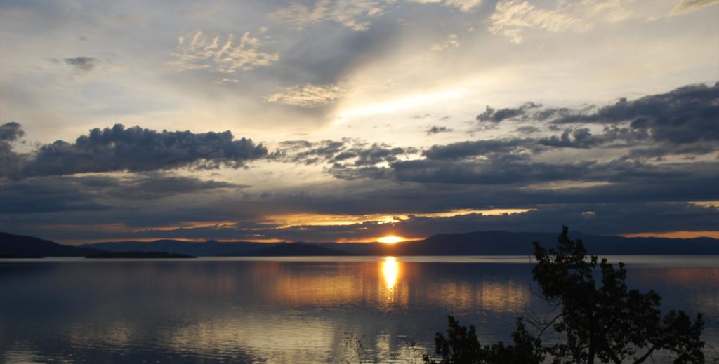
Montana’s Flathead Lake
All manner of water sports are enjoyed upon its 200 square miles of surface. Several state parks and lakeshore communities have boat launches and marinas on the Lake.
Locals know summer has arrived when a steady stream of traffic starts to build on the secondary roads. So in peak season expect to share your enjoyment of the Flathead Valley with many others, although the mountains still offer room to get-away if you are willing to exert yourself.
You can avail yourself of a boat tour or rent one of the many types of watercraft including canoes, kayaks, windsurfers, hydro bikes, sailing and fishing boats. Serious anglers can arm themselves with heavy-duty equipment and probe the 300-foot deep Flathead Lake for trophy Mackinaw. Lake trout, salmon, perch, pike, bass, and whitefish are found in the Flathead area’s many lakes.
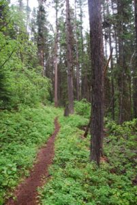
There are many hiking trails around the area as well.
If you are looking for the area’s premiere trail guide take a look at Go Hike With Mike trail guide.
This GHWM website contains information about camping & hiking around Flathead Lake. Mike has been hiking, wandering, hunting and spending time in these woods for more then 20 years and this guide contains most every trail head around Flathead Lake.

 The Mission Mountains Tribal Wilderness is located on the western slopes of the Mission Range. The area covers approximately 91,778 acres. It is roughly 34 miles long and five miles wide. Elevations range from four thousand to nearly ten thousand feet.

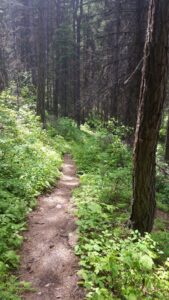 The Mission Mountains Tribal Wilderness is located on the western slopes of the Mission Range. The area covers approximately 91,778 acres. It is roughly 34 miles long and five miles wide. Elevations range from four thousand to nearly ten thousand feet.
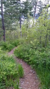 There are many quality hiking very close to Montana’s Flathead Lake. The views from these hikes around Flathead Lake are both beautiful and vast. Hiking is a great way to explore the area while experiencing nature and wildlife. We have created a list of trails you may enjoy. The list of trails when hiking Flathead Lake can be found below.